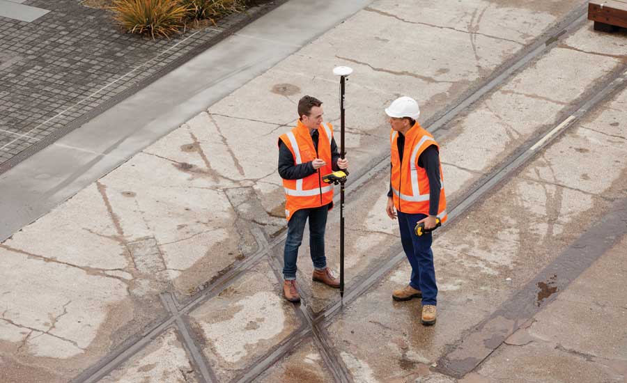
Mountain Mapping has a wide range of experience in GPS/GIS space. Some services include GPS/GIS integration, large scale GPS Data collection, and GIS services. With decades of experience, we have handled everything from environmental incidents to coral reefs to sewer systems. Our team of experts know the potential pitfalls for every type of field environment and infrastructure network. Our field crews are composed of experienced mappers and infrastructure inspectors with broad knowledge of infrastructure, measurement, sampling equipment, and field operations.
Jonathan Coles has spent over 10 years as a Certified Trainer for Trimble. Trimble makes Geospatial/Mapping equipment and is a leader in the industry. Jonathan has seen everything possible while in the field. He has overcome many mapping challenges and has trained hundreds of mapping personnel; from armed forces members to oil field workers.
Jonathan has worked on some impressive projects. In the BP oil spill of 2010, Jonathan designed and implemented all of the field mapping operations. He managed over 300 field teams who mapped over 2,000,000 objects through the cleanup. Jonathan also designed workflows for field mappers and hazmat crews during Hurricane Katrina and other incidents alike.
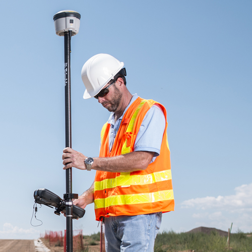
GPS Data Collection
Mountain Mapping started in the business by making maps and analyzing data for river outfitters and other adventure companies. Soon thereafter, we began large scale data collection work. Mountain Mapping began collecting ground control data for aerial and satellite imagery companies. We aided them with imagery orthorectification and georeferencing. From there we expanded to power pole mapping and inspection. We designed field systems to replace clipboards and pencils, and saving field workers dozens of hours every month.
In 2010, we worked with BP to map all the objects and features associated with the Deep Horizon oil spill in the Gulf of Mexico. Our work resulted in over 2.2 million individually mapped objects, and dozens of datasets. Using this data aided coordinating and completing many different reporting, cleanup, and response activities. Since 2010 we have focused on water and utility systems.